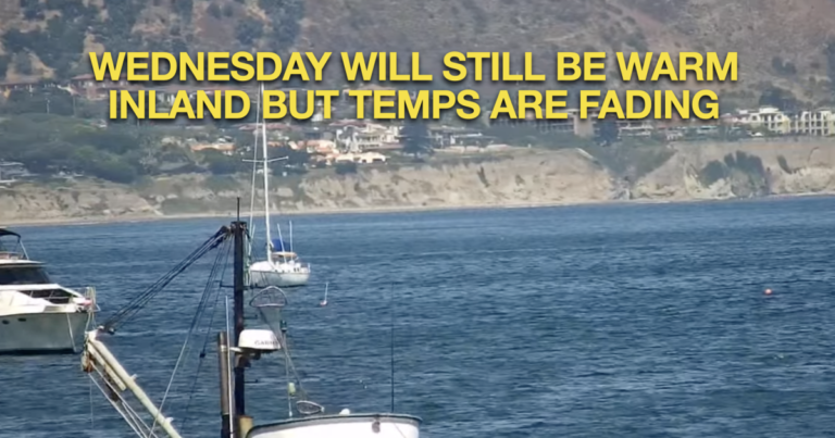
Residents in San Luis Obispo and Santa Barbara counties can expect the gradual cooling trend to continue through midweek. Low pressure will weaken over the region, leading to stronger onshore breezes and less heat. Low clouds and fog will slowly return to coastal areas overnight and in the mornings, bringing cooler starts to the day. However, temperatures may rise again by next weekend as high pressure re-establishes itself over the region.
Short-term forecast (today – Thursday)
The next few days will see relatively calm weather in the region. High pressure is currently over southern New Mexico, influencing the weather. An upper level low pressure system will move through the Pacific Northwest on Wednesday and Thursday, pushing high pressure to the southeast and shifting the weather pattern slightly.
Remaining moisture and partly cloudy skies this morning prevented marine stratus clouds from forming. Heat watches and warnings are in effect for inland areas of San Luis Obispo and Santa Barbara counties.
However, these advisories are expected to end tomorrow as temperatures drop below dangerous levels.
The cooling trend will continue over the next two days, increasing low cloud cover at night and in the mornings. The surface layer will remain shallow, covering only coastal areas and the lowest valleys. Strong flow from the land will cause daily temperature drops of 2 to 4 degrees. By Thursday, coastal and valley temperatures will be 1 to 3 degrees below normal, with highs in the 80s and 90s in the valleys, while inland areas will experience near-normal temperatures.
Long-range forecast (Friday to Monday)
The cooling trend will peak on Friday, with highs 3 to 6 degrees below normal, especially in San Luis Obispo and Santa Barbara counties. A marine surface layer will develop and may extend into the troughs, keeping some beaches mostly cloudy throughout the day. Strong onshore winds could bring gusts near warning levels to the western Santa Barbara coast.
High pressure will begin to build back up over the weekend. Sea level pressure will drop slightly and west to northwest winds will continue to blow, peaking especially in southwest Santa Barbara County in the afternoon and evening. Inland temperatures will return to normal on Saturday and above normal early next week, although beaches and coastal valleys will remain above normal.

