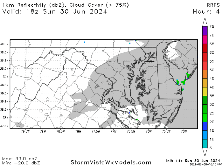
A combination of very humid air, temperatures rising into the low to mid 90s F, and an approaching cold front will bring the threat of severe storms to the Washington, DC area late this afternoon and into the evening. The National Weather Service has issued a severe thunderstorm watch until 11 p.m.
With the air being very humid today and dew points in the tropical mid-70s, there is a good chance many locations will see at least one severe storm, although some locations may miss out on a storm, especially north and west of the Beltway.
It’s unclear how many of the storms will bring destructive wind gusts and large hail, as that depends on whether the sun comes out early enough in the afternoon to energize the atmosphere. At least one of the storm’s locations could bring about a half-to-one-and-a-half inch of rain, which is beneficial since rainfall since June 1 has been more than three inches below average. Other locations may see much less rainfall today.
“High-resolution forecast models released early this afternoon predict that storms will develop in Montgomery County, Washington, DC and Northern Virginia in the late afternoon before moving eastward, with a second storm possibly developing in the same areas in the evening,” said Jeff Halverson, severe weather specialist for the Capital Weather Gang. “These storms are being generated by a cold front colliding with a very moist and unstable airmass, which could lead to locally strong to severe wind gusts, flash flooding and possibly multiple storms.”

