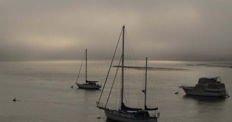
Hello Central Coast. The cooling trend is expected to continue through Tuesday. The ridge of high pressure seen last week has moved eastward, providing some relief from the heat in inland valleys. However, the warming trend could return inland by next weekend.
Weather Headlines:
- Thunderstorms are possible in the mountainous areas of Los Angeles and Ventura counties Sunday afternoon, but skies will otherwise be clear except for low morning clouds along the coast.
- The downward trend in temperatures will continue through Tuesday, but extreme heat is possible inland by next weekend.
Long-range forecast:
Convection potential across the region this afternoon and into the evening remains highest in the Antelope Valley area.
Satellite imagery from the past 24 hours has revealed a significant influx of tropospheric moisture.
This is due to the continued influx of monsoonal moisture onto the western fringe of a vast upper level high pressure system centered over the Southern Rockies, locally enhanced by a subtle mesoscale impulse that passed through California this morning bringing thunderstorms to parts of the Los Angeles Basin and northern communities.
This means that there is a lot of deep water in parts of Los Angeles County, which will be the focal point of thunderstorms Sunday afternoon. North of the warning area in Los Angeles and Oxnard counties, water vapor will taper off, limiting the risk of thunderstorms elsewhere.
The one exception is the mountains of northern Ventura County, where satellite images are already showing cumulus clouds developing into eventual thunderstorms Sunday afternoon.
A stable marine layer over coastal regions and coastal valleys should largely prevent the development of convection there.
Regarding convective hazards, thermodynamic and kinematic parameters conditionally favor strong thunderstorm gusts. Mid-level winds at high altitudes have weakened due to the weakening of the influence of the upper-level eastern Pacific low.
The most gusty winds will occur along the coastal valleys and inland areas on Sunday, with inland valleys seeing wind gusts near 30 mph Sunday afternoon.
Calm weather is expected on Monday. Southern California is between high pressure to the east and a weak low pressure to the northwest, which will result in dry southwesterly winds blowing in the upper atmosphere. On Monday, land winds will be weak, while areas such as San Luis Obispo and Santa Barbara counties will tend to have winds blowing from the ocean, so Monday may be slightly warmer.
Areas along the beaches will see highs in the 60s to 70s. In the coastal valleys, highs will be in the 60s to 70s, while the Santa Ynez Valley will see highs in the 80s. Inland areas will see highs in the 80s to 90s.
However, the south coast of Santa Barbara County will see the most warming as northerly winds begin to move across the county. Low clouds will also be present across all coasts overnight and into the morning, potentially moving into the low-lying valleys.
Onshore winds will shift slightly stronger to the east on Tuesday, which will be the coolest day of the week as afternoon high temperatures will be closer to seasonal averages.
By Wednesday, high pressure aloft is expected to strengthen and push westward, which will continue the warming trend through next weekend, especially inland.
Have a great day everyone on the Central Coast!

