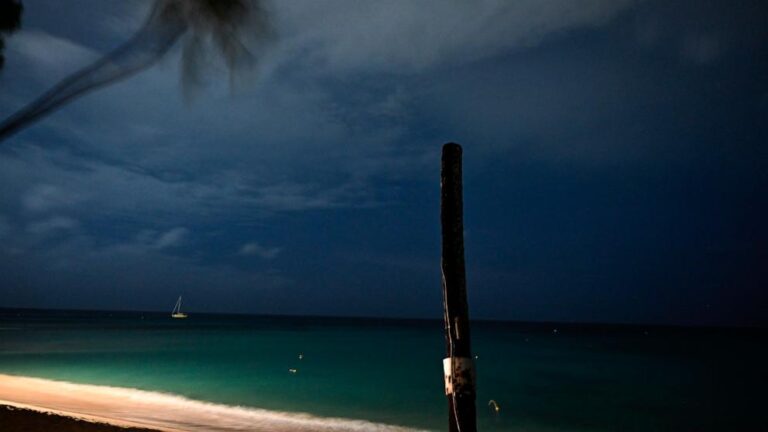
Destructive winds, waves and storm surges are possible.
The National Hurricane Center announced Monday night that Hurricane Beryl has been upgraded to Category 5 and is being described as “potentially catastrophic.”
Maximum sustained winds increased to 160 mph, according to the National Oceanic and Atmospheric Administration’s Hurricane Hunters.
Tropical storm Beryl, with Category 4 winds of up to 150 mph, slammed into Grenada’s Carriacou island and is now moving through the eastern Caribbean, leaving at least one person dead, officials said Monday.
Bequia is the largest island in the Grenadines and is located about nine miles from Kingstown, the capital of the main island, St. Vincent.
Prime Minister Ralph Gonsalves has said the death toll could rise, but so far one death has been officially confirmed.
Before making landfall, the storm was strengthening towards the Windward Islands, which include Grenada, St. Vincent and the Grenadines, and Petite Martinique.
Officials said Monday that the hurricane caused extensive damage to schools, homes, buildings, farmland and property in the area.
Communications have been cut off in parts of the country and authorities are yet to assess the full extent of the damage.
Union Island in Saint Vincent and the Grenadines was hit hard, with 90% of the homes on the island damaged and the roof of Union Island Airport blown off by the storm.
Gonsalves is due to visit the Grenadines on Tuesday.
Over the weekend, Beryl strengthened from a tropical storm to a major Category 4 hurricane in just 48 hours, making it the quickest Category 4 ever recorded in the Atlantic Basin, breaking the record held by Hurricane Dennis on July 7, 2005. Beryl is the first Category 4 hurricane recorded in the month of June.
The hurricane weakened to a Category 3 hurricane on Sunday night, but gained strength and speed as it moved over warmer waters, upgrading to a Category 4 hurricane on Monday morning.
Ocean temperatures in the area where Beryl is located are 2 to 3 degrees warmer than normal for this time of year, temperatures not typically seen until September.
Beryl is moving west at 20 mph. Fluctuations in strength are expected, but Beryl is forecast to maintain significant strength throughout the day as it passes the Windward Islands. A life-threatening storm surge is expected to cause water levels to rise 6 to 9 feet above normal tides in onshore wind areas near the eye of the hurricane warning area. The storm surge will generate large and destructive waves near the coast.
Beryl is expected to bring rainfall totals of 3 to 6 inches to Barbados and the Windward Islands by Monday afternoon. Up to 10 inches is expected in the Grenadines and Grenada, possibly causing flash flooding in vulnerable areas.
Beryl will continue heading towards Jamaica and is expected to reach the island on Wednesday. Even if Beryl doesn’t make landfall directly on Jamaica, it will be close enough to cause problems.
Beryl will then move through the Yucatan Peninsula, spend another visit in the Gulf of Mexico, and likely move toward eastern Mexico.

