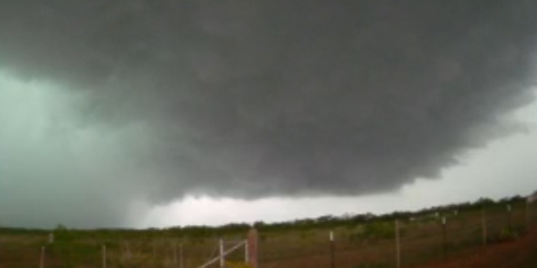
FOX Weather Storm Tracker video of dangerous supercell in Midwest Texas
The FOX Prediction Center tracked a supercell outside San Angelo, Texas, that spawned a dangerous tornado Friday afternoon.
San Angelo, Texas — The threat of pop-up storms is expected to continue into the weekend, with at least one large and violent tornado forming on a day of increased severe weather risk across the Lone Star State.
As has been the case over the past few days, thunderstorms developed during the afternoon and moved into central Texas from West Texas and the Panhandle late in the evening, quickly reaching severe levels.
A tornado warning was issued Friday as thunderstorms developed in Coke County, Texas, and conditions were deemed to be “particularly dangerous.”
Video from the FOX Weather Storm Tracker showed what appeared to be a large tornado wrapped in rain around the community of Robert Lee, north of San Angelo.
Radar showed a tornado-like supercell outside San Angelo, Texas. (FOX Weather)
There were no immediate reports of damage, but the threat of severe weather continued for several hours after the twister was first spotted.
The Storm Prediction Center received nearly 100 reports of severe weather from across the Plains, including grapefruit-sized hail and damaging winds and tornadoes.
Evacuation ordered in Texas due to life-threatening flooding after torrential rains
It is expected that bad weather will continue
The Level 2 threat for West Texas continues through Saturday, but at this point it looks like Sunday will be a well-deserved break for severe weather, with only a Level 1 threat currently predicted by the Storm Prediction Center.
On Saturday, Midland, Texas appears to be in the target area for the strongest storms, potentially producing large hail and a few tornadoes.
The general thunderstorm band is expected to extend from near the U.S.-Mexico border to Chicago, as the old frontal boundary will be the focal point for many of the scattered showers and thunderstorms.
Forecasts continue to point toward another significant severe weather threat for the central Plains on Monday. Already three days in, the SPC has given central Kansas, including Wichita, a Level 3 risk, with Omaha and Kansas City already covered by Level 2 risk.
And, in keeping with this month’s severe weather theme, the threat of additional severe weather is expected to continue across the Plains and Midwest through the middle of next week.

